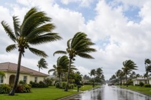


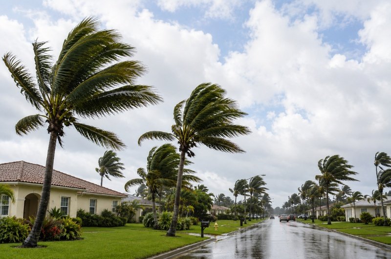
Tropical Storm Bertha strengthened overnight as it drifted across the Gulf of Mexico, prompting warnings for parts of the northern Gulf Coast as forecasters warned of heavy rainfall, coastal flooding, storm surge, and isolated tornadoes over the coming days.
As of Tuesday morning, Bertha was producing maximum sustained winds of 50 mph and was located about 125 miles south of Panama City, Florida. The storm was moving slowly to the northwest, a track expected to bring it closer to portions of the Florida Panhandle, Alabama, Mississippi, and Louisiana before turning westward later this week.
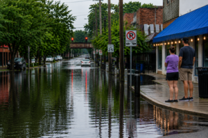
A tropical storm warning is in effect from the Florida-Alabama border westward into southeastern Louisiana, while a storm surge watch remains in effect for vulnerable coastal communities. Forecasters say some locations could see storm surge of up to 4 feet, along with several inches of rainfall capable of triggering flash flooding in low-lying areas.
Emergency officials are encouraging residents to monitor the latest forecasts, review evacuation plans if they live in flood-prone areas, and avoid driving through flooded roadways. Although Bertha is not expected to become a major hurricane before landfall, slow-moving tropical systems can still produce significant flooding and dangerous conditions well inland.
Forecasters expect Bertha to continue strengthening modestly before approaching the northern Gulf Coast, with weather conditions expected to deteriorate across the region through midweek. Residents are urged to stay informed as the storm’s track and intensity could still change.