

A powerful winter storm is sweeping across the Mid-Atlantic and Northeast, bringing heavy snowfall, dangerous travel conditions, and widespread disruptions. Forecasters say parts of the region are experiencing snowfall rates as high as 2 to 3 inches per hour, rapidly reducing visibility and overwhelming road treatment efforts.
While snow began falling Sunday afternoon, the system is intensifying as it pushes north. Areas of New York and New Jersey have already seen more than a foot of snow, and some areas are forecast to receive as much as 20 – 24 inches before the storm tapers off.
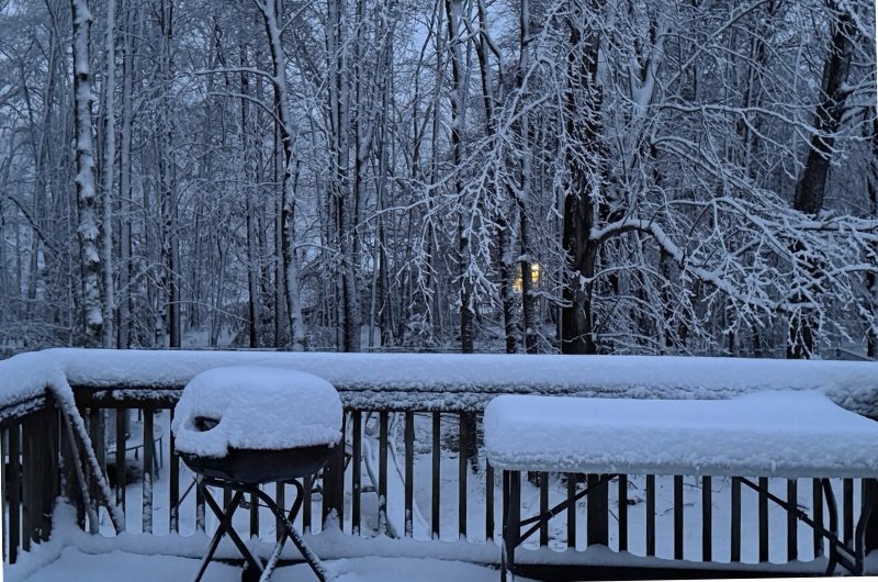
The combination of heavy accumulation and gusty winds has led to school closures, flight cancellations, and treacherous road conditions across multiple states. Wet, dense snow is clinging to trees and power lines in some communities, raising the risk of scattered outages.
Officials are urging residents to avoid unnecessary travel as plow crews work to keep primary roads passable. With temperatures hovering near or below freezing, untreated surfaces may remain icy even after snowfall slows, extending impacts into the evening commute.