

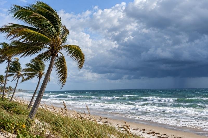
Tropical Storm Isaias formed over the Gulf early Wednesday and is forecast to rapidly strengthen into the first hurricane of the 2026 Atlantic season as it moves toward the northern U.S. Gulf Coast.
As of 4 a.m. CDT Wednesday, Isaias had maximum sustained winds of 40 mph and was moving east-northeast at 8 mph. The storm was centered about 580 miles southwest of the mouth of the Mississippi River, according to the National Hurricane Center.
Forecasters expect Isaias to strengthen significantly over the next couple of days and become a hurricane by Thursday. The storm is expected to approach the northern Gulf Coast on Friday, although its eventual landfall location and the areas that will experience the strongest impacts remain uncertain.
The National Hurricane Center says there is an increasing risk of dangerous winds and storm surge along portions of the northern Gulf Coast. Residents from Louisiana to the Florida Panhandle are being urged to monitor the forecast and make sure hurricane plans are in place. No coastal watches or warnings were in effect early Wednesday.
Heavy rainfall could become another major concern. From Friday through the weekend, Isaias is forecast to produce 3 to 6 inches of rain from far southeastern Louisiana to the Florida Panhandle, with localized totals reaching 10 inches. Much of the Southeast, including areas extending north toward the Tennessee Valley and Carolinas, could receive 1 to 3 inches, with isolated totals of up to 5 inches. Flash flooding, urban flooding and isolated river flooding will be possible.
Isaias arrives unusually late as the first potential Atlantic hurricane of the year. The 2026 Atlantic hurricane season has been relatively quiet, but the developing storm is a reminder that significant tropical systems can still form well into the fall.