


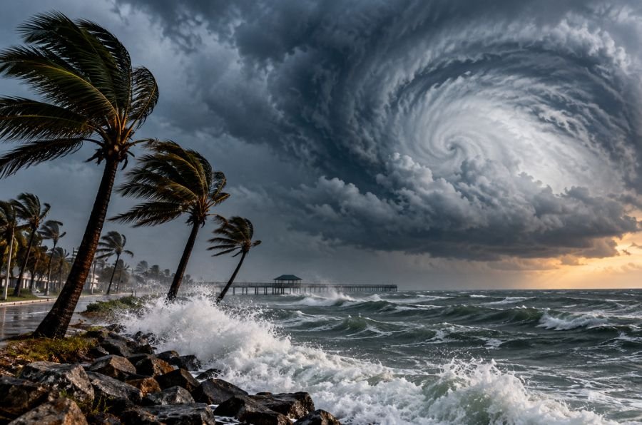
Hurricane Isaias strengthened to 110 mph early Friday as the powerful storm moved toward the northern Gulf Coast, threatening communities in Alabama, Mississippi, Louisiana, and Florida with damaging winds, dangerous storm surge, and widespread flooding.
The National Hurricane Center reported that Isaias was moving north-northeast at 15 mph as of 4 a.m. Central time, with its center approximately 200 miles south-southeast of the mouth of the Mississippi River. Forecasters expect the hurricane to reach the northern Gulf Coast Friday evening, with conditions deteriorating throughout the day.
Hurricane warnings remain in effect from Ocean Springs, Mississippi, to the Bay/Gulf County line in Florida. Storm surge warnings extend from the mouth of the Mississippi River to Florida’s Suwannee River, where rising coastal waters could create life-threatening flooding. Residents in vulnerable areas have been urged to complete preparations and follow local evacuation instructions.
The National Weather Service in Mobile, Alabama, warned that the approaching hurricane could produce destructive winds, flash flooding, tornadoes, dangerous surf, and life-threatening rip currents. Heavy rainfall could also cause flooding well inland as the storm moves northward.
Isaias was approaching Category 3 strength Friday morning, with sustained winds just below the 111 mph threshold for a major hurricane. Forecasters cautioned that the storm could intensify further before landfall, making its exact track and strength especially important for communities along the northern Gulf Coast.