UPDATE: FRIDAY AFTERNOON (23 JAN 2026)
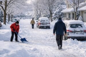
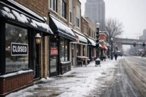
The winter storm system continues to expand, with additional states now under advisories as snowfall totals increase across parts of the Midwest and Northeast. Forecasts show heavier accumulations in some areas than initially expected, prompting widespread school closures, government office delays, and disruptions to local services as the storm moves through the region.
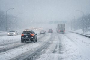
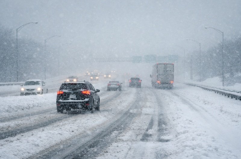
A potentially historic winter storm is forecast to bring heavy snow, sleet, freezing rain, and dangerously cold conditions across a wide stretch of the United States this weekend, raising concerns about travel disruptions, power outages, and public safety from Friday through Sunday.
Forecasters warn that significant snow accumulation is possible across large portions of the storm’s path. In parts of the Southern Plains and Lower Mid-South, snowfall totals could reach 12 inches or more, with some areas potentially seeing 10 to 16 inches if the heaviest bands persist. Localized higher totals are not out of the question where conditions align.
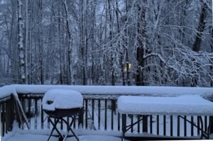
Across the Mid-Atlantic, widespread snowfall is expected, with some areas facing accumulations exceeding one foot by the time the storm exits. In locations where snow continues over multiple phases, totals could climb rapidly, making travel increasingly dangerous through the weekend.
Farther south, freezing rain and sleet remain major concerns. Ice accumulation could weigh down trees and power lines, increasing the risk of power outages, particularly in regions that are less accustomed to severe winter weather and prolonged freezing conditions.
Behind the storm, an Arctic air mass is expected to surge south, ushering in some of the coldest temperatures of the season. Sub-freezing conditions could linger for days, keeping snow and ice in place and slowing recovery efforts.
Bottom Line
From Texas to the East Coast, residents should prepare for significant winter impacts, including heavy snow that may exceed a foot in some areas, dangerous ice accumulation, and hazardous travel. Officials are urging the public to monitor local forecasts closely and limit travel where possible as conditions evolve.
——————–
Recommended:
Surviving the Next Blackout: How to Prepare for Power Outages Before They Strike